Communauté métropolitaine de Montréal
CMM: more than 1,700 buildings in flood zones in Vaudreuil-Soulanges

Partager
l'article à votre communauté.
Copier le lien


Par Jessica Brisson, Éditrice adjointe
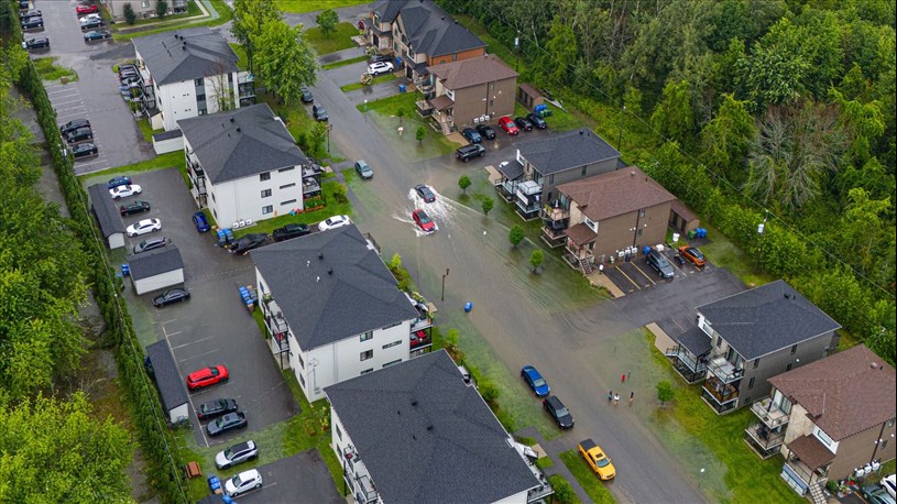
According to the preliminary mapping tabled this Monday by the Communauté métropolitaine de Montréal (CMM), 1,709 buildings in the CMM's Vaudreuil-Soulanges territory are located in flood-prone zones.
Although the maps created by the CMM are not final, they provide a better understanding of which risk category a given sector would fall into if no changes are made to the flood zone regulations proposed last June by the Ministère de l'Environnement, de la Lutte contre les changements climatiques, de la Faune et des Parcs (MELCCFP).
Not surprisingly, the City of Vaudreuil-Dorion would be the most affected, with 1,207 buildings. According to data estimated by the CMM, practically the whole of L'Île-Cadieux would be in a flood zone.
In its new regulations, the MELCCFP classifies flood risks according to four categories: low, moderate, high and very high.
For CMM towns in the Vaudreuil-Soulanges territory, 1,709 buildings would be in flood-prone zones, 186 of which would be at very high risk.
| Municipality | Low | Moderate | High | Very high | Total |
| Hudson | 14 | 31 | 44 | 23 | 112 |
| L'Île-Cadieux | 3 | 11 | 34 | 11 | 59 |
| L'Île-Perrot | 9 | 19 | 40 | 31 | 105 |
| Notre-Dame-de-l'Île-Perrot | 4 | 14 | 9 | 10 | 37 |
| Pincourt | 1 | 4 | 3 | 7 | 15 |
| Terrasse-Vaudreuil | 18 | 17 | 31 | 27 | 93 |
| Vaudreuil-Dorion | 542 | 470 | 133 | 62 | 1207 |
| Vaudreuil-sur-le-Lac | 61 | 47 | 33 | 15 | 156 |
| Total | 652 | 613 | 327 | 186 | 1 709 |
Modifications and public consultation requested
Considering the importance of at-risk zones and in order to allow the population and cities to develop the built environment towards greater resilience, the CMM considers that the following modifications should be made:
- re-evaluate the standards governing the various transformations of a main residential building to allow greater flexibility, particularly in low, moderate and high exposure zones (for the portion beyond the 20-year limit);
- allow management plans to be drawn up for all flood-prone areas, including those under the influence of a managed system and those located behind one or more OPIs;
- modify various rules and conditions relating to OPIs and territories located downstream from them, to avoid major and harmful consequences for many property owners.
Consultations
As the CMM pointed out in 2020, when the legislative provisions concerning flood-prone areas were being drafted (Bill 67), there are several highly urbanized areas in the CMM for which municipalities are planning and implementing resilience and protection measures to reduce their vulnerability.
Five years later, the CMM is still of the opinion that it is imperative to provide Quebec with a new regulatory framework. However, it believes that the government's proposal, in its current form, prevents the transformation of land use towards greater resilience, and raises concerns for populations located behind existing or future flood control structures.
As part of this consultation process, the CMM produced and sent Greater Montreal municipalities a preliminary map based on the methodological guide developed by the Quebec government, to enable them to visualize the impact of the regulatory proposal on their territory. Taking into account recent events in 2017, 2019 and 2023, as well as the anticipated effect of climate change, these maps show a significant increase in flood levels.
Throughout the summer, the mayors and professionals of Greater Montreal's municipalities and the CMM were contacted by concerned citizens, but were unable to provide adequate answers. The CMM therefore believes that the Ministère de l'Environnement, de la Lutte contre les changements climatiques, de la Faune et des Parcs (MELCCFP) must hold meetings to present its draft regulatory framework to the populations concerned, without delay.
The CMM also intends to participate in this process by offering support to municipalities and making the necessary mapping and analyses available. It should be noted, however, that this mapping is based on the methodological guide proposed by the government, and that the final maps may differ.
Partager
l'article à votre communauté.


